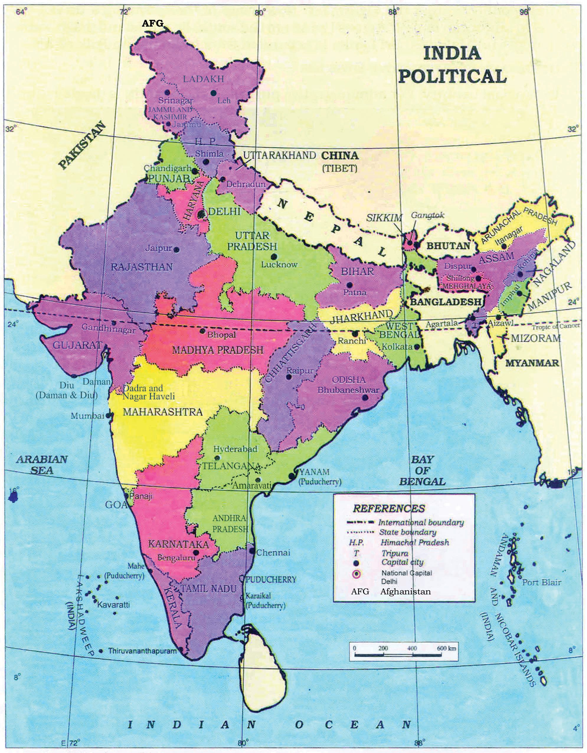
Political
Country, States and Districts boundary visualization.
Cropping pattern, crop type, crop yield data
Water resource management data i.e. rivers, canals, lakes, pond etc.
Distribution and classification of soil type, its texture, productivity, slope etc.
Prominent minerails, mine locations etc.
Annual Rainfall, Seasonal Rainfall, Monsoon Pattern etc.
Welcome to Level2- NCERT |
---|
Allows to create point, line , polygon and codify them as park, road, rail, pond etc. |
Welcome to Level3- NCERT |
---|
Allows to create point, line , polygon and codify them as park, road, rail, pond etc and with sub categories, details etc. |
Help |
---|
The help material for School Bhuvan- NCERT are 1. Bhuvan - KV Air Force Station Download 2. Bhuvan - Varanasi Download 3. Map Your Own City -Varanasi Download 4. Video Download 5. Waterlogged Areas in Delhi during Monsoon-2016Download |