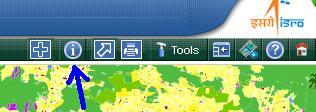
Information Button:
This tool is used to get the LULC description , area along with Date of Satellite data used for mapping of any desired point. To get the descritption-
Select  and click on any point of the
terrain.
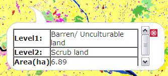
and click on any point of the
terrain.
To deactivate the identify control, click
on  .
.