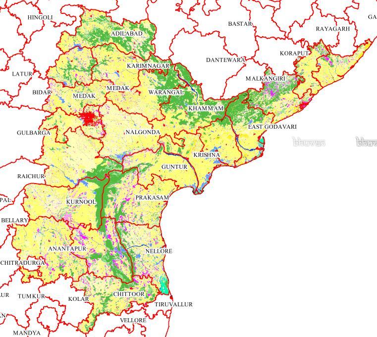
“Add Layers” option enables the users to overlays other layers available from Bhuvan on the top of Base themtic data i.e. LULC50K data.
Using this option, Users can overlay administrative boundaries up to taluk levels, rivers, roads, rediff map etc.
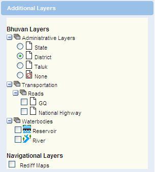
Using this, users can have better understanding of the base data.