About IWMP
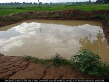
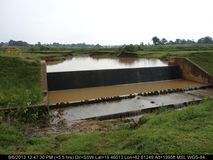
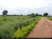
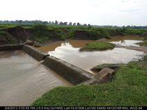
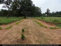
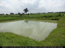
The main objectives of the IWMP are to restore the ecological balance by harnessing, conserving and developing degraded natural resources such as soil, vegetative cover and water. The outcomes are prevention of soil run-off, regeneration of natural vegetation, rain water harvesting and recharging of the ground water table.
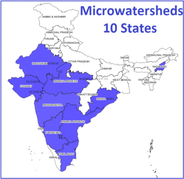
Bhuvan IWMP-SRISHTI: Montioring and Evaluation
A Web based GIS application (Geoportal) enabling the monitoring and evaluation of IWMP watersheds, using satellite remote sensing and sample field data using mobile smart phone applications has been realised. This Geoportal facilitates M&E of all IWMP watersheds for 10 states and 50 special watersheds in 16 states.
Salient Features
The geoportal enables image and map display, monitoring tools, summary statistics of all the IWMP watersheds. The application enables National, State, District and watershed level access for information and report generation.
Updates
New Mobile App has been released with version 2.6, please update as soon as possible.